SURVEY.
in Survey
The purpose of surveys is to get answers to important questions. For the most part, they’re used to find out what people think about a subject and why they feel that way about it. Surveys can come in many forms, depending on what you’re hoping to achieve by collecting data. We provide 1. GPS Survey 2. Total station survey 3. Drone survey.
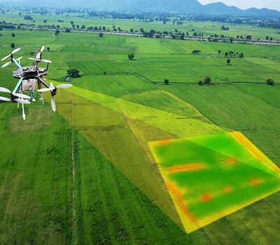
Drone Survey

We can do a Drone survey for Orthorectified Drone images (multispectral data),
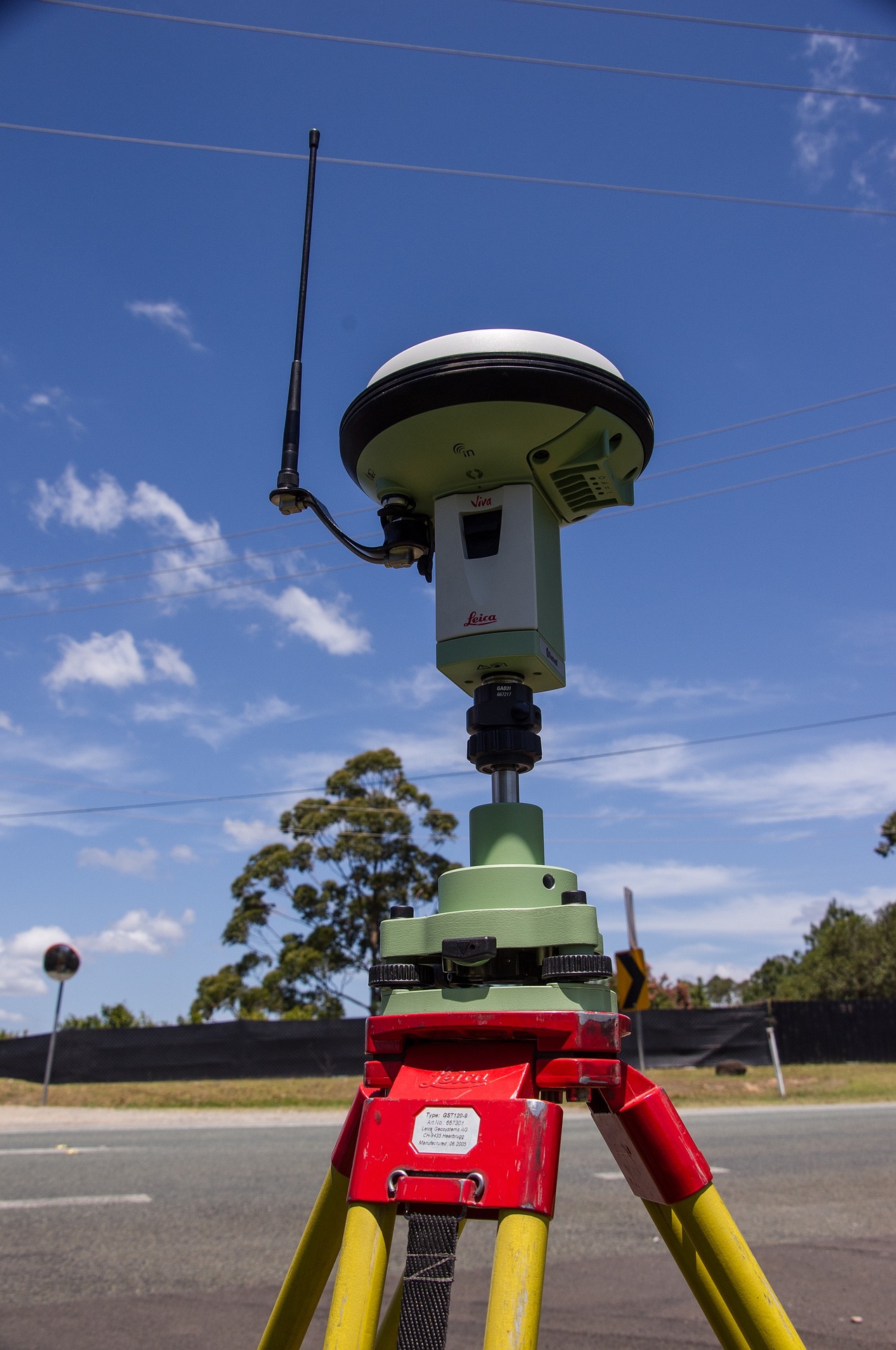
GPS Survey

GPS stands for Global Positioning System. It is a highly accurate navigation system using signals from satellites to determine a location on the Earth’s surface, irrespective of weather conditions. GPS was originally developed for military use but since the 1990s has been open for civilian use and is now used in such common applications as mobile phones, car navigation systems, and of course surveying and mapping.
Total station survey

A Total Station is a modern surveying instrument that integrates an electronic theodolite with an electronic distance meter.Total Stations use electronic transit theodolites in conjunction with a distance meter to read any slope distance from the instrument to any particular spot. They are hence two essential surveying instruments in one and when used with other technology such as mapping software are able to deliver the ‘total’ surveying package, from measuring to mapping.
