Remote Sensing.
in Remote Sensing
We can do Lidar advance classification( Point cloud classification DEM DSM ETC), Drone data processing ( DTM DSM ORTHO ETC),. Mining restoration/closure plan, Mining deformation monitoring, environmental impact assessment, mining conveyor belt planning, Dump 3d modeling, cost cut calculation, solutions for outside ob dump stabilization, Drone-imagery-based mining area 3d modeling, High-resolution LULC, slope stability study of pits and ob dumps.
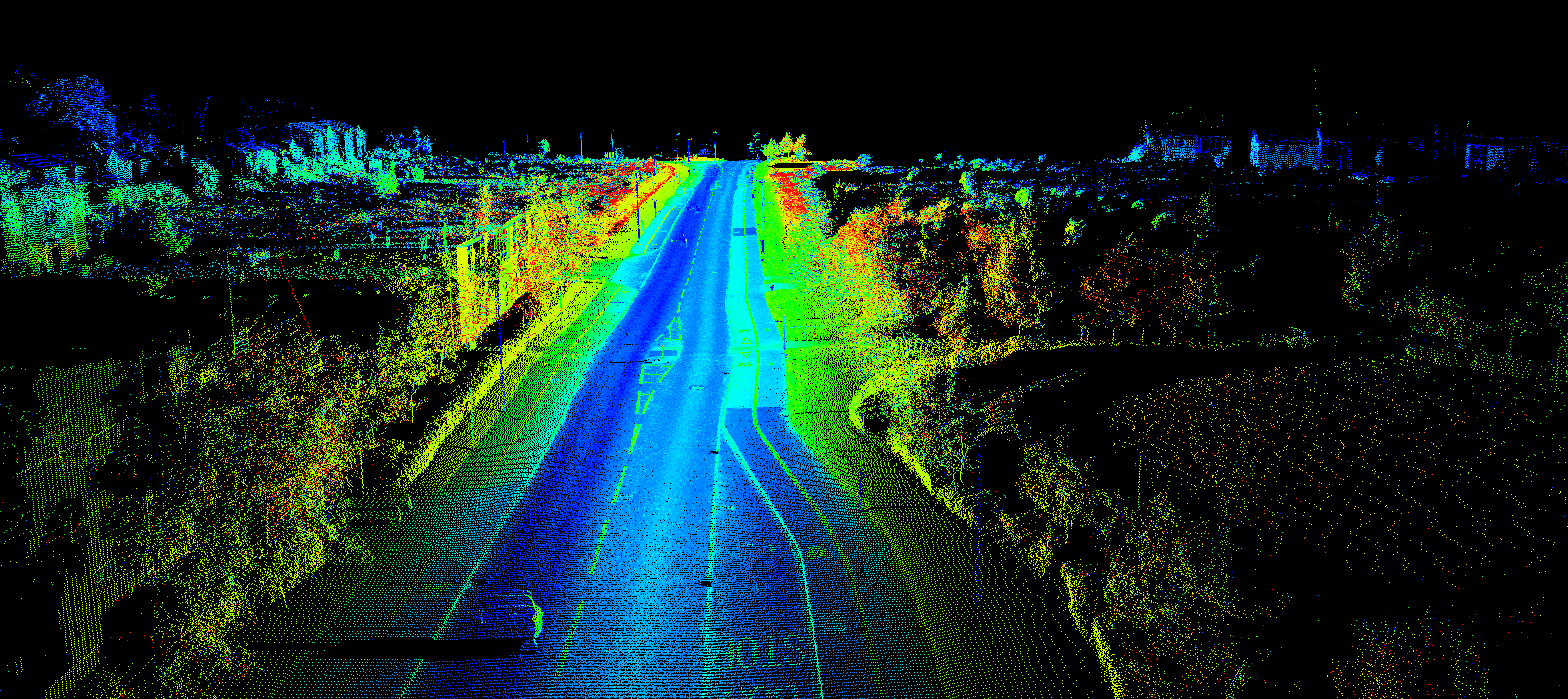
Lidar advance classification

Every lidar point can have a classification assigned to it that defines the type of object that has reflected the laser pulse. Lidar points can be classified into a number of categories including bare earth or ground, top of the canopy, and water.
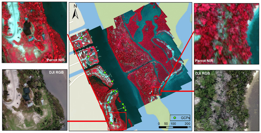
Drone data processing(DTM, DSM, ORTHO ETC)

Drone data is processed using the technique called Digital Photogrammetry. The word photogrammetry is derived from: photo — meaning “picture”, and grammetry — meaning “measurement”. It is a science of obtaining measurements such as length, area, volume etc from an image.
Solutions for Outside OB Dump Stabilisation

Nowadays dump slope instability is a significant problem for opencast mines in India. Our advanced Geospatial Technology and Ground Survey data can quickly identify the factor of safety and the risk-prone areas of OB Dumps. Currently, many mining areas are facing some slope instability issues of OB dumps. Our Geospatial and geotechnical solutions will help to resolve the dump stability with the effective management and planning of OB Dump.
Mining Restoration/ Closure Plan

A mine begins to close the day it opens. Decisions made during the mine planning and development phase – and even earlier, during the exploration phase – have profound effects on the ultimate closure plan, its cost, and the resulting landscape performance. These decisions need to be made within a framework of closure planning to realize successful land reclamation.
High-Resolution Lulc

We can do regional climate modeling applications, CCI studies and investigates the role of the spatial resolution of land cover and land cover change by doing high-resolution LULC.
